The best place to find stunning views over the town of Ella in Sri Lanka is the viewpoint at the top of Ella Rock.
If you want to know how to hike Ella Rock, here are our step-by-step instructions and downloadable map.
When we visited Sri Lanka last year, hiking Ella Rock was one of our favourite activities.
We loved walking through the thousands of tea bushes, wandering along the train tracks (although we won’t pretend we weren’t slightly anxious about this) and taking in breathtaking views from the top of Ella Rock.
Hiking your way to the top of Ella’s Rock by yourself can be tricky, not helped by some locals who purposefully give wrong directions.
It’s also hard to judge how long the Ella Rock hike time and distance is – which is why we’ve put all the details below.
We consulted other online guides before doing the hike but found that many were outdated and some parts had changed since they were written.
We also wished we had a map to Ella Rock that would work offline, so we’ve made one for you!
So here’s our overview of how to hike Ella Rock, including the hike time and distance, a downloadable map to Ella Rock, and some useful tips to help you hike Ella Rock on your own.
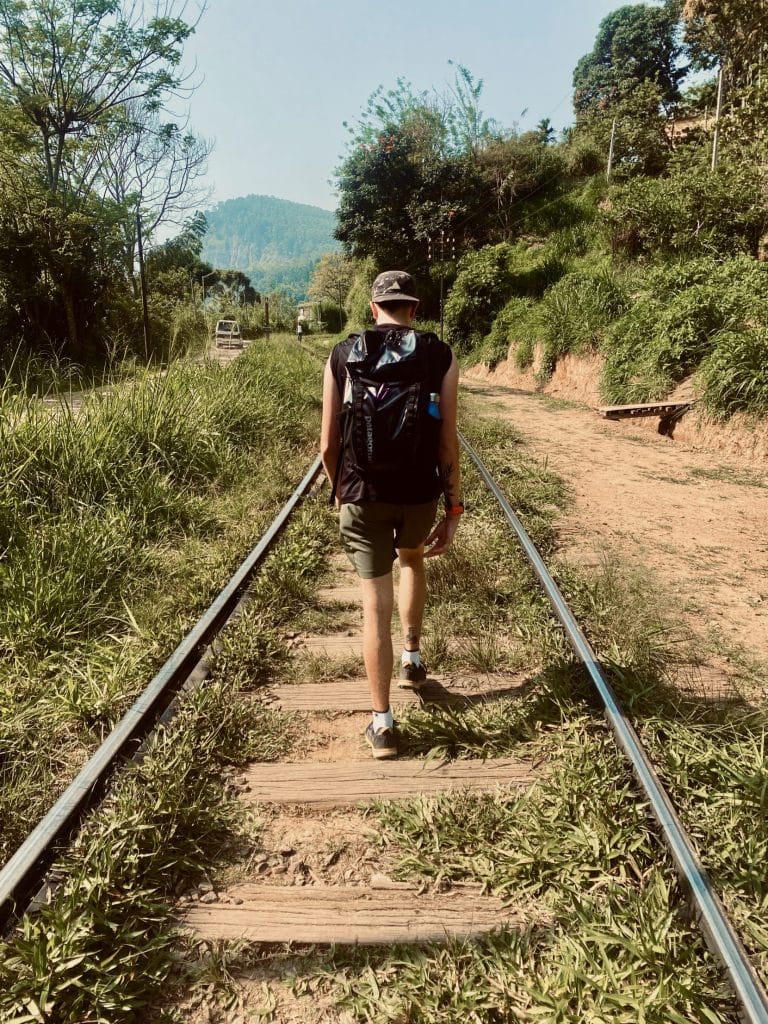
Table of Contents
How long does it take to hike Ella Rock?
The Ella Rock hike time depends on how fast you’re walking (and how many breaks you take), but generally it can take between 3 and 5 hours to hike to the top of Ella Rock.
The Ella Rock Hike distance is approximately 10km long from Ella Station. The route from our hotel near the centre of Ella was 13km and it took us 4 hours to get to the top, enjoy the view, and walk back into town.
From Ella Station, if you walk at a steady pace and take a couple of short breaks, expect a round trip to take around 3-4 hours.
Allow for a little more time to hike Ella Rock if you wish to visit both viewpoints (see details below).
When is the best time to hike Ella Rock?
The best time to hike Ella Rock is in the morning. This way you can beat the heat and maximise your day.
When we went in April 2023, fog would regularly roll in over the mountains in the early afternoon around 2pm which would completely envelop the view point.
The route to Ella Rock
Part 1 – Getting onto the train tracks
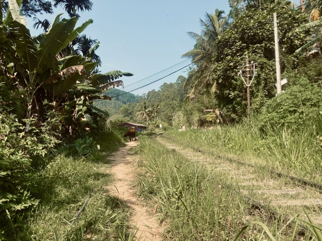
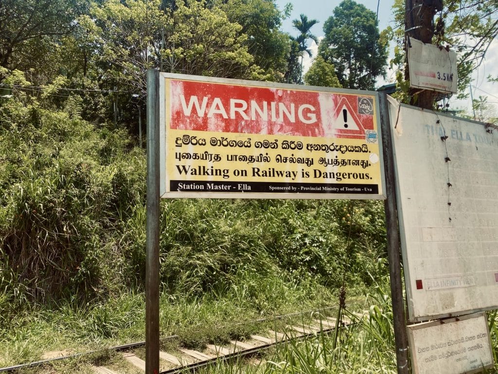
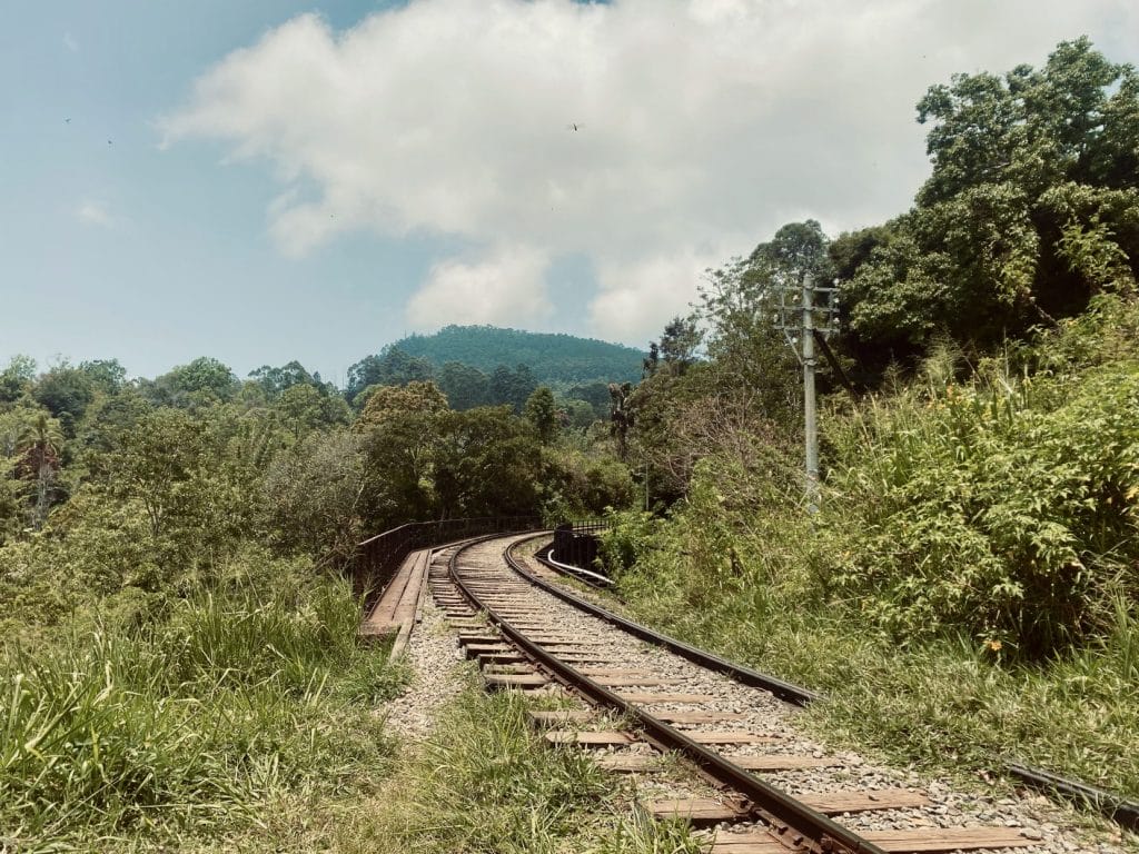
Start your journey at Ella train station. Although it might feel weird, simply hop onto the tracks and start walking towards Kithalella. As you’ll soon find, Sri Lankans walk along the tracks all the time, despite the signs warning you not to.
Not many trains go through Ella station each day, but if you’re anxious about trains, it’s worth checking the timetable outside the station so you have an idea of when trains might be on the tracks.
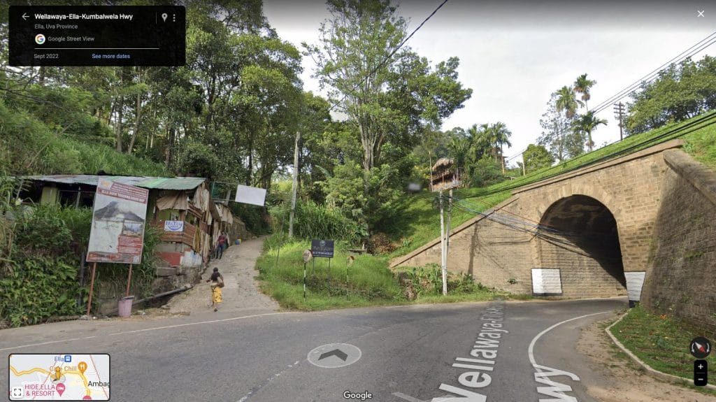
Alternatively, if Ella train station is busy and it feels a little too weird to march through and hop on to the tracks, there’s an alternative start point.
Walk down Ella Station Road until you rejoin the main road through Ella. There you will see a bridge and a smaller road up a steep hill. Walk up this hill and past Matey Hut (one of the best restaurants in Ella), and you will be on to the train tracks.
You’ll be able to hear a train coming long before you see it, so listen out. We found that some parts of the route are quite narrow and, if a train came past, we would have been pushed up against cliffs or in the undergrowth.
Instead, if we heard a train coming, we waited in the more open-air areas where we had plenty of room and could watch the train coming past (and wave at the passengers).
If in doubt, look at what the locals are doing. People are generally super friendly in Sri Lanka so don’t be afraid to ask someone if you’re not sure.
Part 2 – Past Kithaella station
After about 30-40 minutes, you’ll reach Kithaella station, which means you’re going the right way. Keep walking along the train tracks.
Along the way, you might bump into locals trying to give you “directions”, which are actually wrong. They’re trying to confuse you and get you to pay a local guide. You can just politely tell them you know the way and don’t need help.
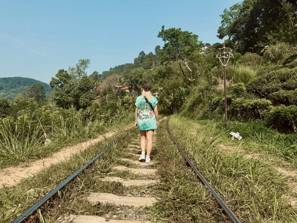
Turn off the train track between waymakers 166 ½ and 166 ¼. We actually overshot this, as we were looking out for a 15km/h sign, which other blogs say you should turn off when you reach.
This wasn’t there when we went – instead, there’s just a sharp left path behind some grass. Head through here and you’ll see it opens up to tea plantations.
Part 3 – Through the tea bushes
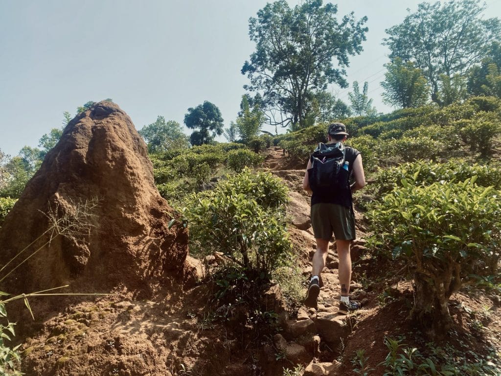
This is the part of the hike we found most confusing. When you come off the tracks, you will cross a small bridge. There are two paths – take the steeper one on the left past a big anthill.
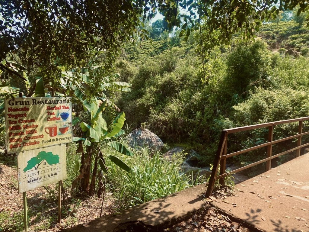
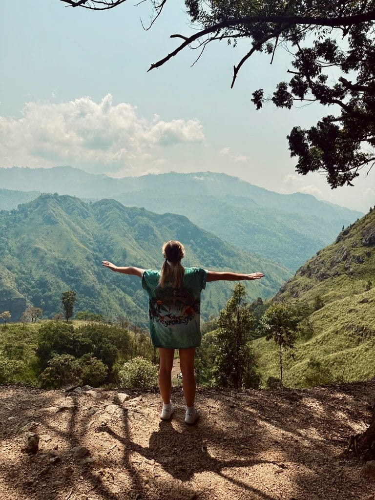
Stick to the widest path, rather than the smaller forks which lead to people’s houses. You’ll be heading uphill and after 20-30 minutes, should reach a flatter area in the trees. This is the first viewpoint.
Part 4 – Through the forest
The directions are pretty straightforward after this point, although the hike gets much harder physically. The viewpoint is a good place to take a break. When we went, there were some benches and someone selling cold drinks.
From here, there is basically one path up through the trees. It’s pretty steep at points and can get quite rocky, but keep going.
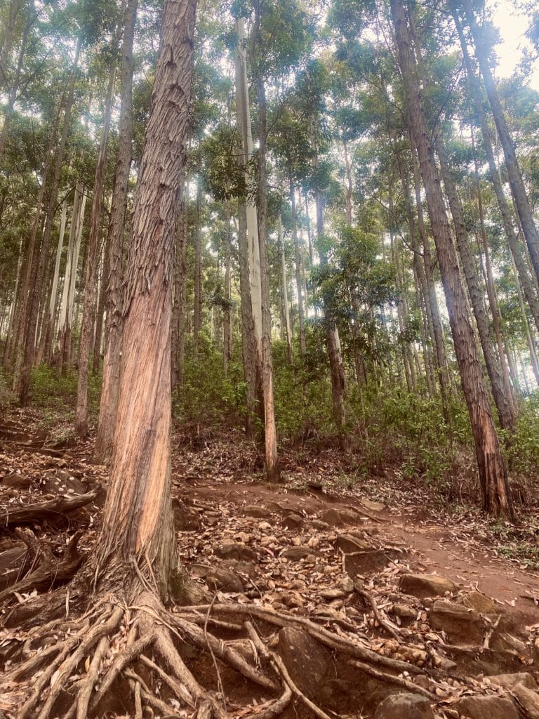
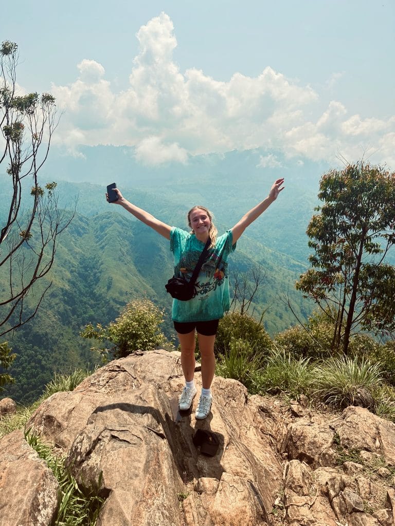
After another 20-30 minutes of climbing, you should reach the top.
Congratulations! Now you can relax and enjoy the view. Or if you’re not too tired from the hike, head over to the lesser-known second viewpoint.
Part 5 – The secret viewpoint
When we arrived at the top of Ella Rock, it was pretty busy with other tourists. We took some quick pictures but there were lots of other people waiting for the perfect shot.
So we followed another path heading through the trees (the opposite direction from where you came) and found it led to another, completed deserted viewpoint. It’s definitely worth checking out!
Ella Rock Hike Map
How to save the map for offline:
Google maps currently doesn’t let you save a personalised map for offline. However, it is still possible to save our route for offline with Maps.me.
Maps.me is a free, open-source mobile app that allows users to download maps of entire countries or regions for offline use. It also lets you import KML and KMZ files which means we can share and save personalised maps from Google Maps for offline.
Do it yourself
Go to this link, and click the 3 dot menu icon next to the heading. On mobile, you might need to open the map legend to see the details.
Select the Export to KML/KMZ option and then tap the download button. Once the file has downloaded, open it with the Maps.me app on your mobile and it will appear in the Favourites / Bookmarks section.
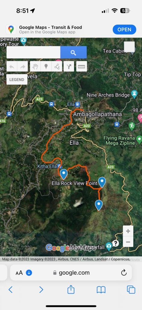
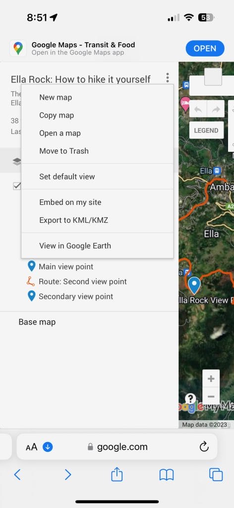

Alternatively you can download the file here on your mobile and open it with maps.me. This will save the route as a Favourite / Bookmark which will be available offline
Simple instructions to hike Ella Rock (screenshot these)
- Start your journey at Ella train station and walk past Kithalella station.
- Turn off the train track between waymakers 166 ½ and 166 ¼ – look out for the sharp left path behind some grass.
- Cross a small bridge and head up the steep path on the left, past the anthill.
- Continue along the widest path, avoiding the smaller forks until you reach a flatter area in the trees (the first viewpoint).
- Follow the steep path uphill through the hills.
- Arrive at the top and don’t forget to check out both viewpoints!
FAQ’s about hiking Ella Rock
What is the Ella Rock Hike time?
The route from Ella Station is approximately 10km long so if you walk at a steady pace and take a couple of short breaks, expect a round trip to take 3-4 hours.
When is the best time to hike Ella Rock?
It is best to hike Ella Rock In the morning. That way you can walk while it’s a bit cooler and avoid the hottest part of the day.
Is it safe to hike Ella Rock?
Yes, the hike is very safe. The route is generally well trodden with other hikers taking it most days. Make sure you listen out for passing trains at the start of the hike and that you are careful when scrambling up and down the steeper parts of the route.
That’s it for Ella Rock hike time and distance – let us know how it went in the comments!


